
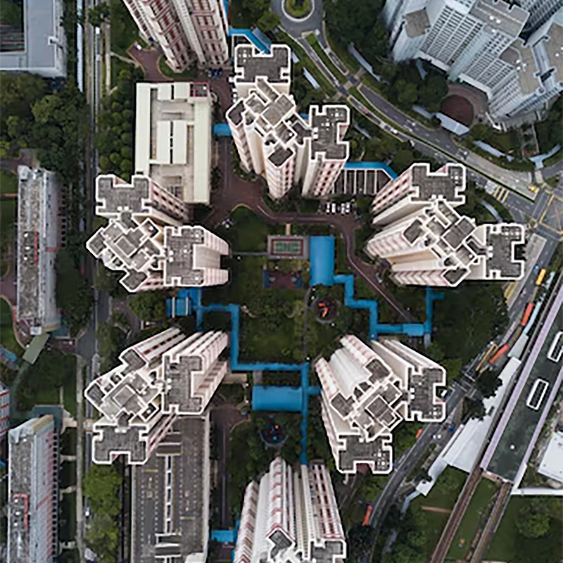
Precision Aerial Mapping & Inspection
We deliver accurate aerial data using advanced drone technology for surveying, mapping, and infrastructure inspection.
Request Flight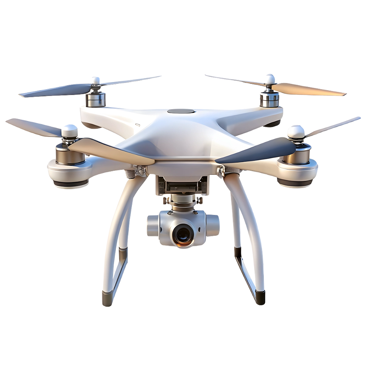
Professional Cinematic Aerial Video
We create stunning aerial visuals for marketing, events, real estate, and tourism campaigns.
Start Project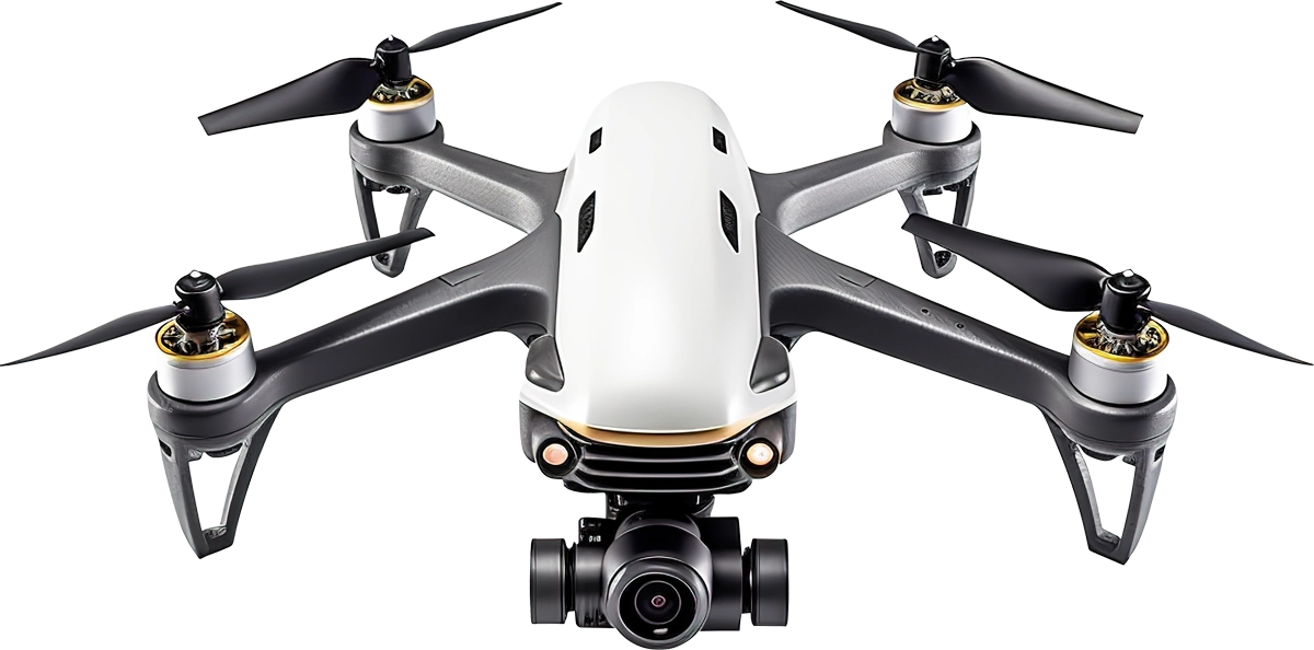
🚁 Drone-Based Monitoring & Inspection for Construction Projects
Aerovyn Technologies provides professional drone-based monitoring, inspection, and reporting solutions designed for construction and real estate projects. We help project owners, developers, and engineers gain complete visibility of their sites through high-quality aerial data and structured reports. With our drone solutions, you no longer need to visit the site frequently to understand progress. Instead, you can view clear aerial images, videos, and reports that give you accurate insights into your project from anywhere.
- High Precision Mapping Equipment
- Certified and Experienced Drone Pilots
- Flexible Project Based Solutions
0
0
0
0
Next-Gen High-Performance Drone
4K Stabilized Camera
Capture sharp photos and smooth video with 3-axis stabilization.
Brushless Motors
Quiet, powerful motors for strong lift and enhanced durability.
4K Stabilized Camera
4K resolution with 3-axis gimbal for smooth video.Brushless Motors
Efficient, quiet motors for powerful, reliable flight.Carbon Fiber Frame
Lightweight, strong carbon fiber for stability.GPS Assisted Navigation
HiPrecise GPS for stable hovering and auto return.Carbon Fiber Frame
Lightweight and strong carbon fiber arms for stability and durability.
GPS Assisted Navigation
Stable hovering and auto return-to-home with precise GPS positioning.
Innovative and Efficient Drone Services
01
Aerial Photo & Video
Aerial and video services deliver stunning drone footage for mapping, inspection, marketing, events, real estate, surveys storytelling worldwide.
02

Mapping & Surveying
Mapping and surveying services deliver aerial data for terrain analysis, land planning, construction tracking, boundary checks, and reports plus.
03
Inspections & Monitoring
Inspection and monitoring services deliver real time drone data for asset checks, audits, infrastructure health tracking, and compliance reports.
Behind The Scene
Arun Kumar
Founder

Srinika
Head of Digital Marketing

Vasanth
Drone Pilot

Industry We Serve
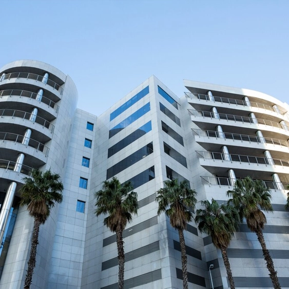
Real Estate
Professional aerial photography and videography for real estate listings, property tours, and marketing campaigns.
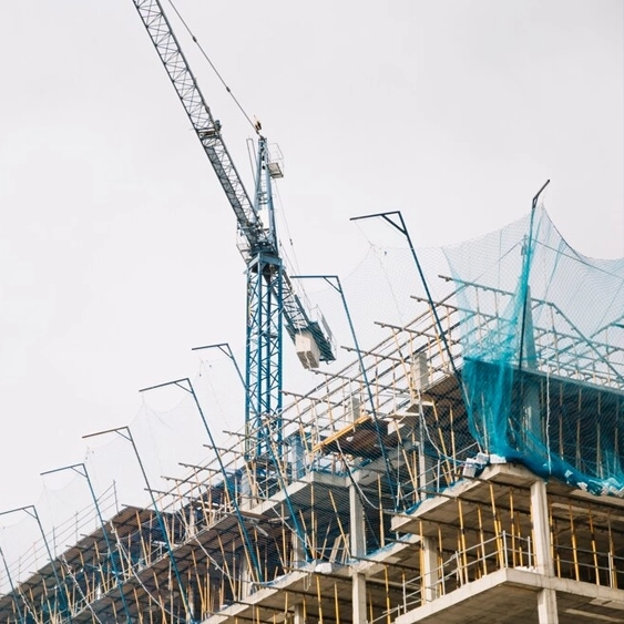
Construction
Track construction progress, monitor sites, and create documentation for stakeholders with regular drone flights.

Digital Marketing
Digital marketing is the act of promoting products, services, or brands using online channels, electronic devices, and digital technologies.
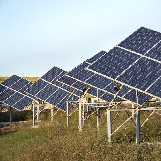
Agriculture
Precision agriculture with drone surveys, crop monitoring, field mapping, and yield optimization for modern farming.
Ready to Monitor Your Project Better?
If you are looking for a smarter way to track your construction project, Aerovyn is here to help. Our drone-based solutions provide clarity, efficiency, and control over your site.