
Our Services
Precision Drone Services for Mapping, Inspections, Thermal Imaging, and High Accuracy Aerial Data.
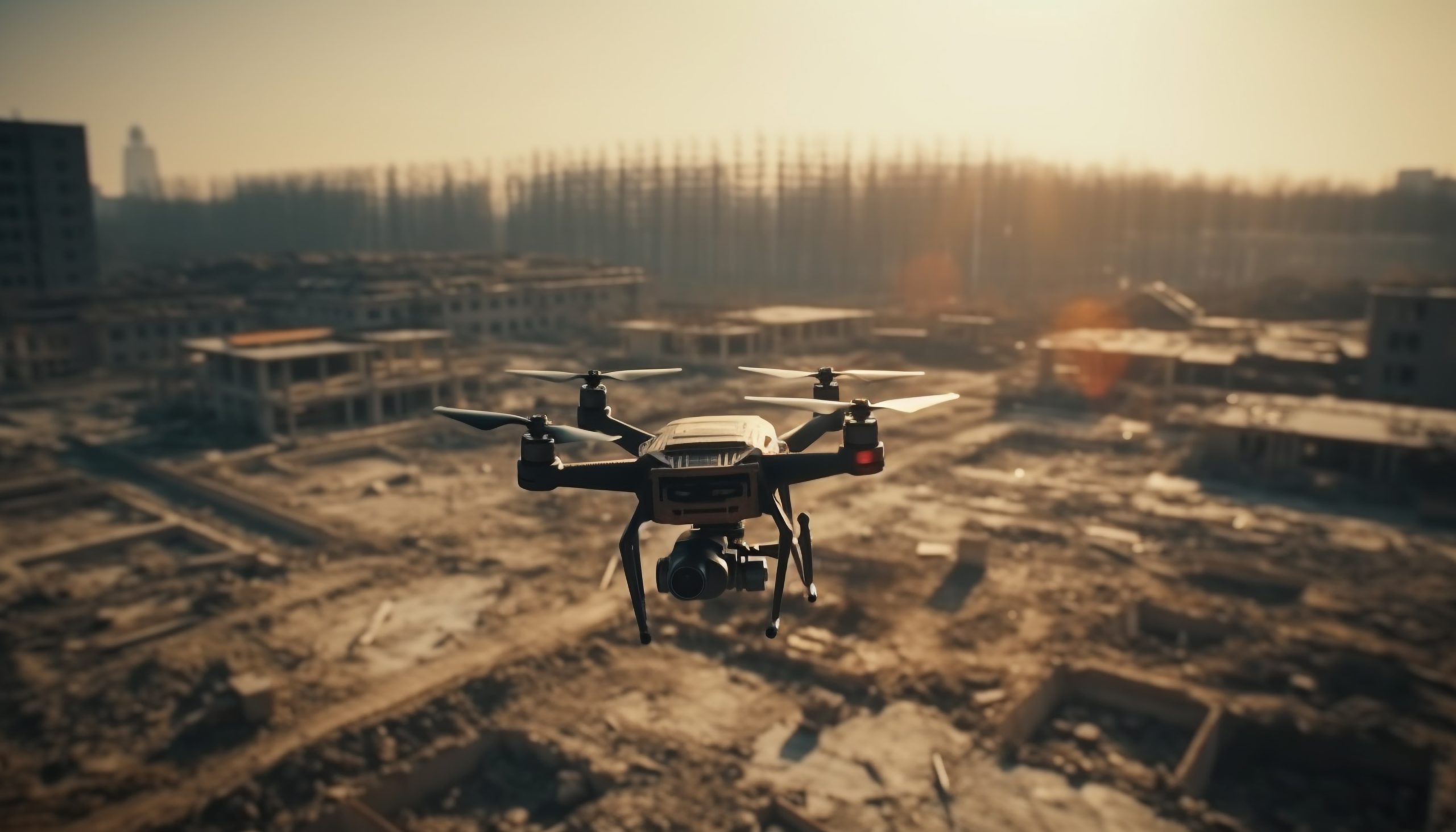
🏗 Construction Monitoring
Construction monitoring is our core service, designed to give you complete visibility of your project...

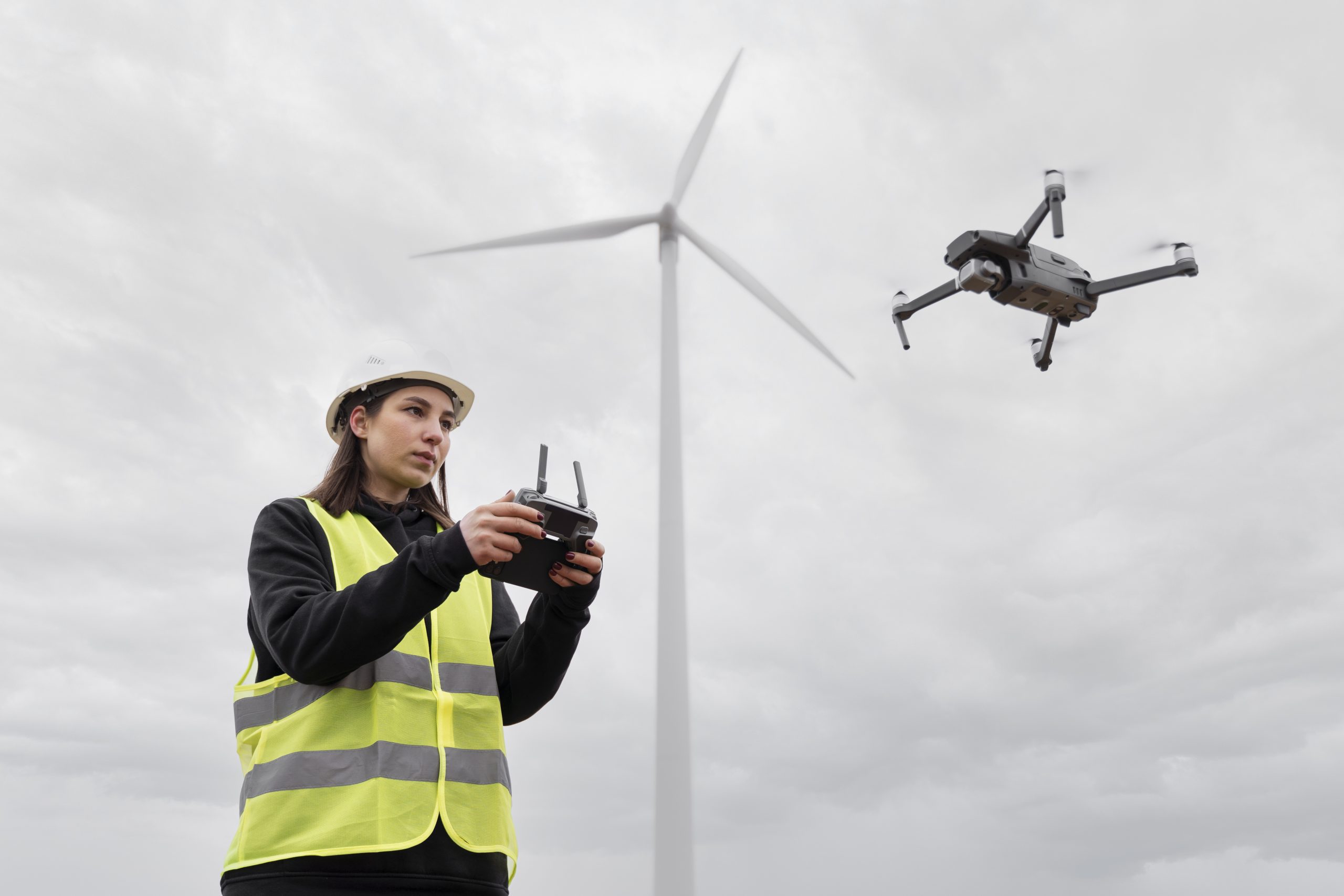
🔍 Site Inspection
Site inspection using drones allows you to examine your project from angles that are difficult...
📊 Progress Reporting
At Aerovyn, we go beyond capturing images. We provide structured reports that transform aerial data...
🎥 Aerial Photography & Videography
We offer high-quality aerial photography and videography services for construction and real estate projects. Our...

📢 Real Estate Marketing Content
In addition to monitoring and inspection, we help developers create engaging visual content for marketing...
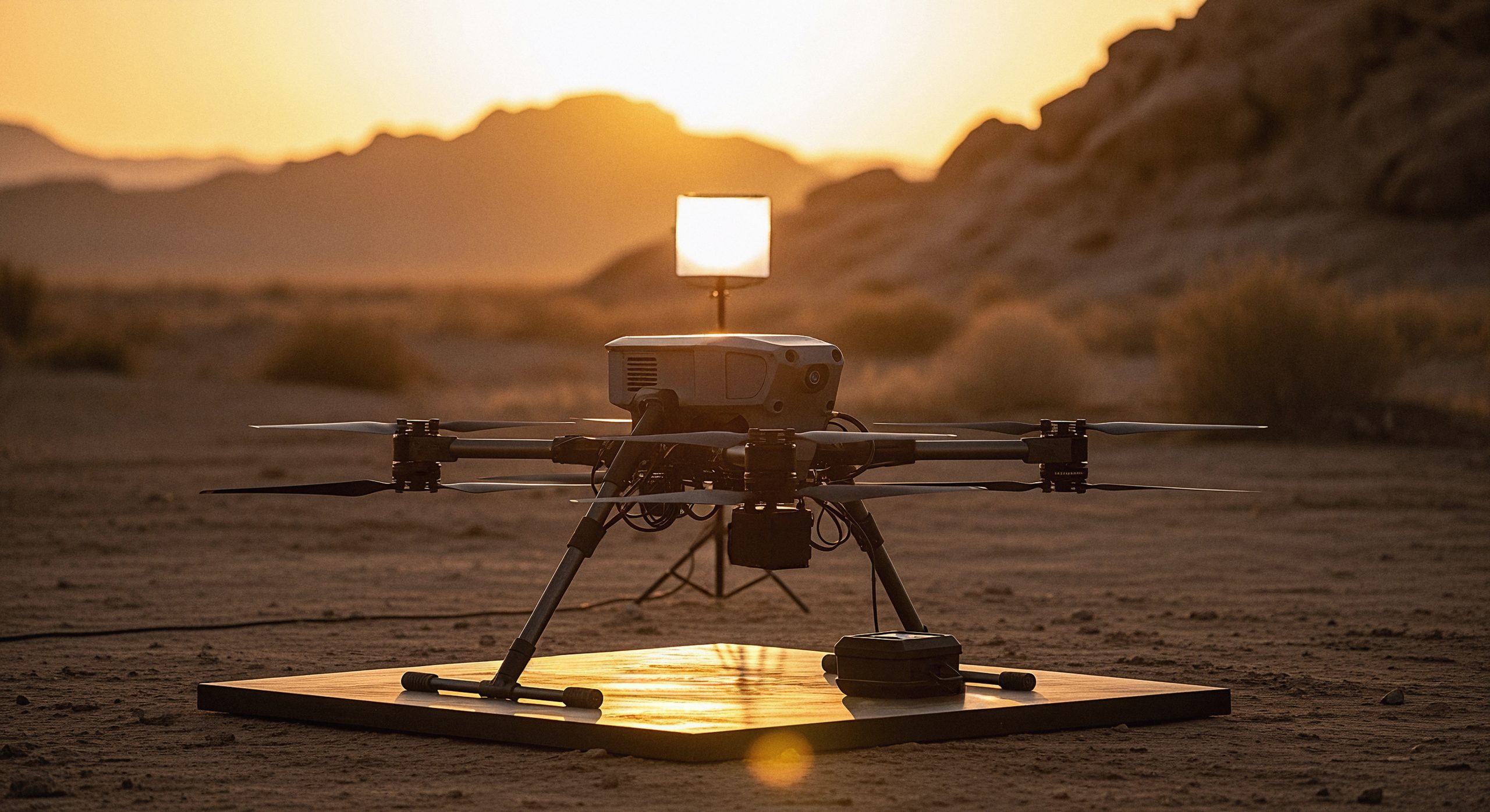
🗺 Drone Survey & Mapping
We are expanding into drone-based survey and mapping services. This will include site mapping, area...
🏗 Construction Monitoring
We conduct regular drone flights (weekly or monthly) to capture high-quality aerial images and videos of your site. These visuals are then organized into structured reports that help you understand progress over time.
With construction monitoring, you can:
✓ Track development at every stage
✓ Compare progress with previous visits
✓ Share updates with stakeholders
✓ Reduce unnecessary site visits
✓ Improve overall project control
🔍 Site Inspection
This service is especially useful for:
✓ Checking site boundaries and layout
✓ Monitoring construction activity
✓ Identifying material placement issues
✓ Observing site conditions safely
Drone-based inspection helps save time while providing a clear and accurate understanding of the site.
📊 Progress Reporting
Each report includes:
✓ Site overview
✓ Progress updates
✓ Observations and findings
✓ Recommendations for improvement
These reports help project owners and managers quickly understand the current status of their site and make informed decisions.
🎥 Aerial Photography & Videography
Our visuals can be used for:
✓ Project documentation
✓ Client presentations
✓ Marketing and promotions
✓ Investor updates
By capturing your project from a unique aerial perspective, we help you present your work more effectively.
📢 Real Estate Marketing Content
We produce:
✓ Promotional drone videos
✓ Site highlight reels
✓ Social media content
These visuals can be used to attract buyers, showcase project progress, and improve overall brand presence.
🗺 Drone Survey & Mapping
This service will be useful for projects that require a broader understanding of land and layout.
📞 Get Started with Aerovyn
If you are looking for a reliable way to monitor and manage your construction project, Aerovyn Technologies is here to help.